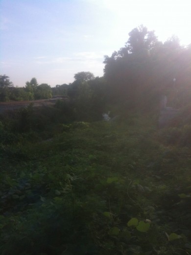
Looking west near entrance of North Bank Trail (notice flowing water):
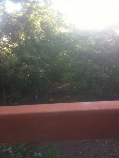
Looking west from new pedestrian canal bridge:
You may have heard of greenways, the Kanawha Canal is one of Richmond’s original ‘blueways’.
From a current Canal Walk display:
Washington’s vision was to connect the Atlantic Ocean to the Mississippi River with navigable rivers, canals, and a land portage through what is now West Virginia. After the Revolution, the James River Company was created, primarily as a result of his sponsorship and lobbying efforts. Before Washington’s death in 1799, a large portion of his dream had been realized.
Two canals bypassed the falls of the James River at Richmond, and 220 miles of river improvements extended westward. In the early 19th century, other farsighted Virginians took over Washington’s leadership role. The final elements of his plan were completed in the 1820s, when the Kanawha Turnpike joined the headwaters of the James River to the Kanawha River. In 1835, the James River and Kanawha Company was formed, and within 15 years a canal system stretched to Buchanan, Virginia, a distance of 197 miles.


Pingback: Dr. Trout’s Letter Concerning The Kanawha Canal ‹ Oregon Hill
Pingback: Canal Drawings ‹ Oregon Hill
Pingback: Yellow Iris | Oregon Hill