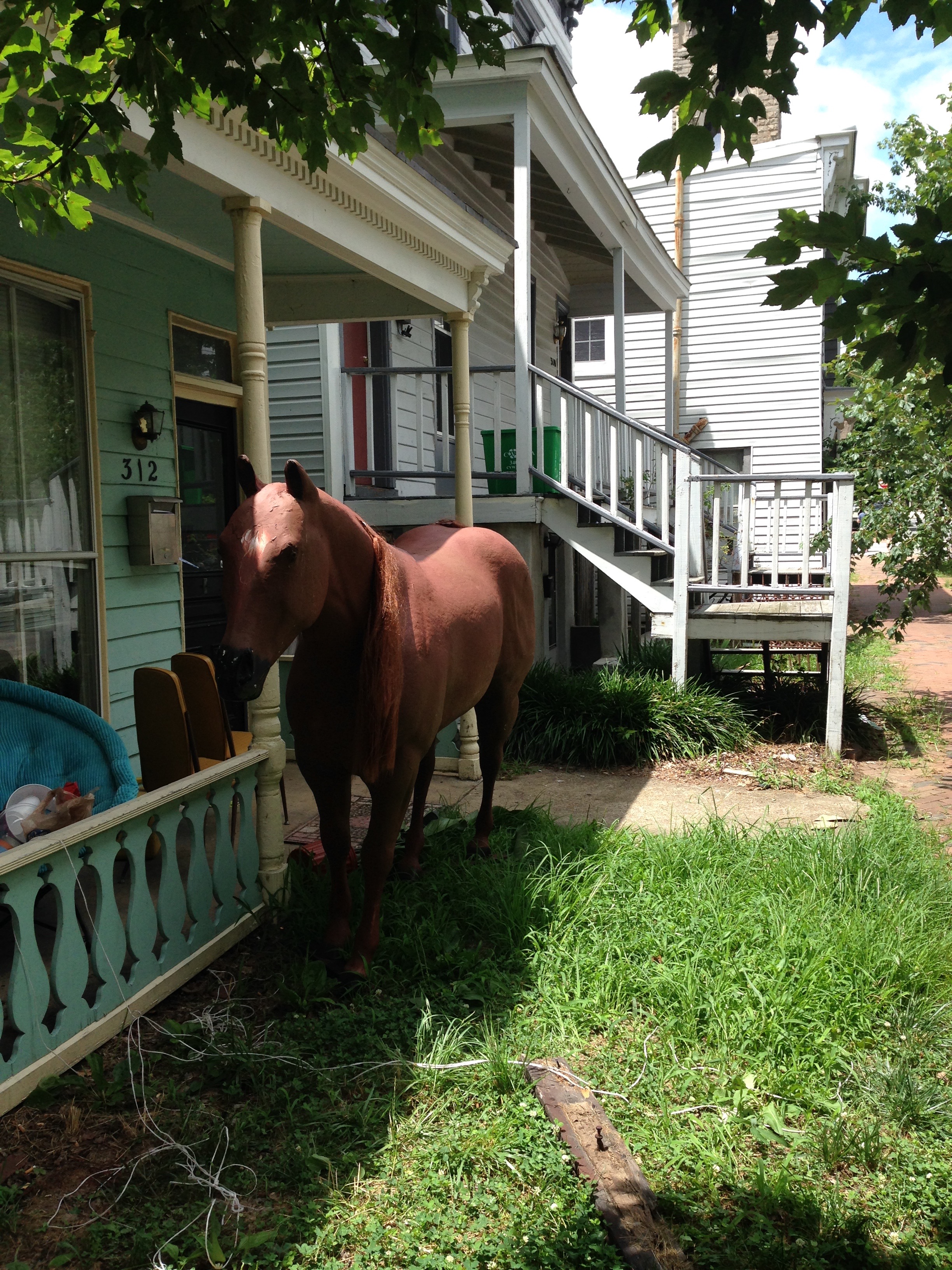
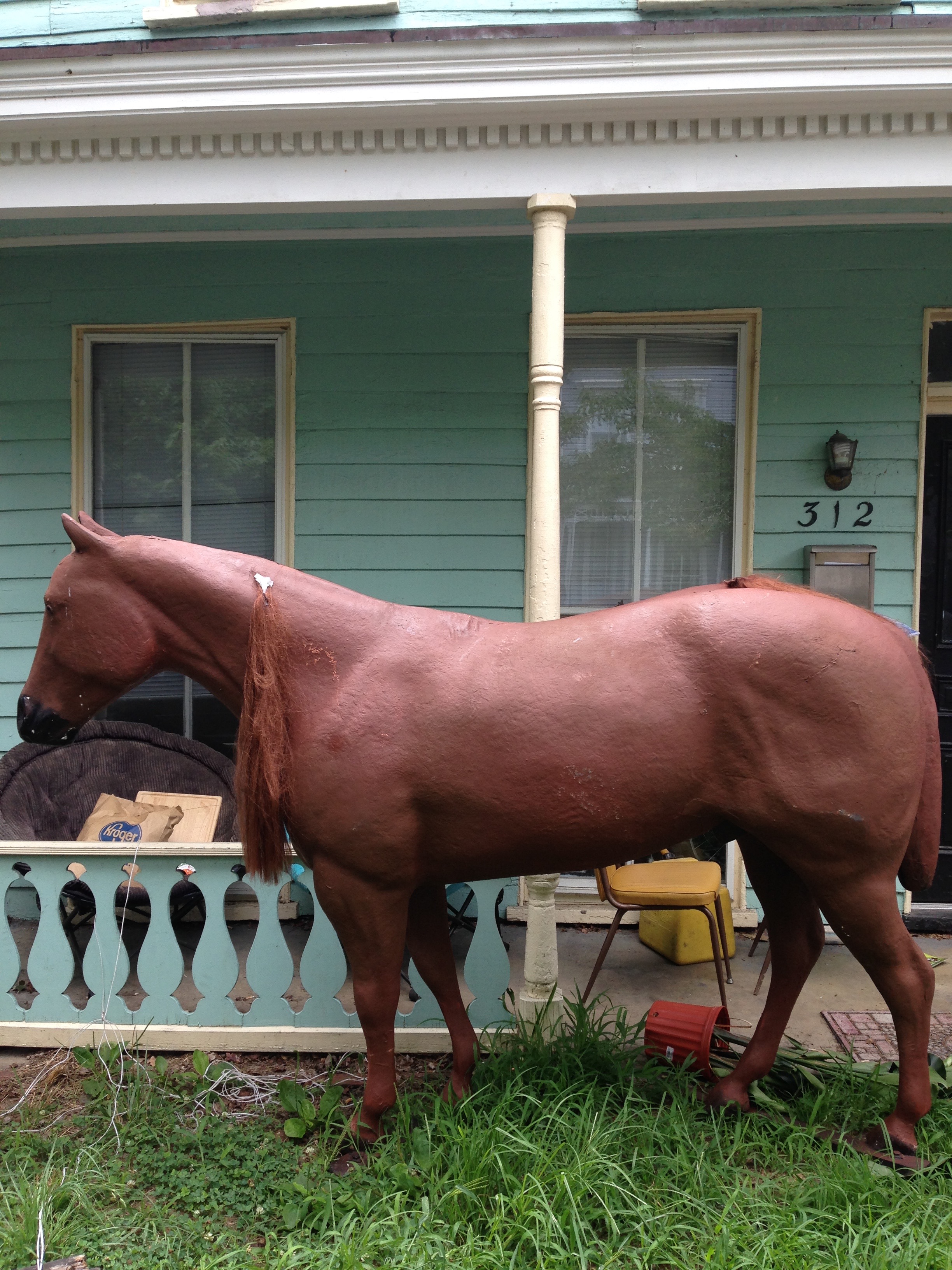
A Pine Street neighbor took this photo yesterday:


A Pine Street neighbor took this photo yesterday:
China Street neighbor Marty has a new small business venture. “Swine Skins” are his version of pork skin rinds, made with peanut oil. He has been selling them at the Byrd House Market, and last night he brought out the cart (with vendor’s license) for the people watching fireworks.

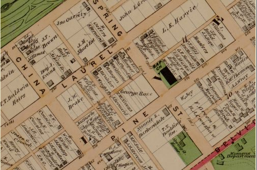
A very useful map for anyone studying the history of Oregon Hill and Richmond is the 1876 Beers Atlas. This very detailed atlas identifies the names of the property owners and shows the building footprints. For example, the detail above shows that the Baptist Church in 1876 was on the opposite corner of the 400 block of S. Pine Street, and that the Samuel Parsons House at 601 Spring Street was then known as the Spring Street Home. The Illustrated atlas of the city of Richmond, Va. / by F.W. Beers is available for free on the Library of Congress website (much of Oregon Hill is shown on Section P of the map): http://memory.loc.gov/
Photo credit: Library of Congress
Richmond Police are handing out this flyer to some residences:

From Oregon Hill Neighborhood Association, in regard to fireworks on July 3:
On July 3rd:
At around 5 pm, police officers will be stationed at the following intersections:
Laurel and Idlewood, Holly and Laurel, Holly and Pine.
Because of congestion and traffic from the Downtown Expressway, police decided this year to close Laurel Street at Idlewood to everyone but neighbors and guests.
Those without the password or current proof of address will still be able to access the neighborhood at Spring Street until around 7 pm. At 7 pm, the police will start closing down Belvedere and the Lee Bridge.
The Overlook be closed to all but residents and guests. The Oregon Hill Parkway should be closed at the same time 2nd street is closed. The Lee Bridge ramps will be closed also.
Neighbors can get past the police at any time with the password or identification showing that they reside in the neighborhood.
From Dinamo restaurant’s FaceBook page:
dear dinamo customers,
we are CLOSED for summer vacation.
we reopen JULY 7, 2015 at 11 am for lunch.
happy fourth of july!
But will rain hold off?…Ed. update: postponed

From email message:
We won’t be holding yard sales this Saturday – Too much rain. There’s four or five of us that want to hold yard sales soon. Sometime after July 4 Weekend. Stay tuned.
From email announcement:
Cool Off with A Community Movie
There’s a lot of snow in this movie!
Friday, June 26 at 8:30
Pleasants Park
Free refreshments served
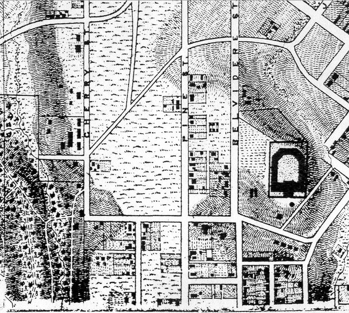
The 1867 Mitchie/Micheler Corps of Engineers map shows the buildings and topography of the entire Richmond area. The attached small detail from the huge map shows a portion of the Oregon Hill neighborhood between the horse-shoe shaped Penitentiary on Spring Street on the right and Hollywood Cemetery on the left. This map shows many homes that were built in Oregon Hill by the Civil War. These houses typically were small workers’ dwellings with gable roofs. Quite a bit of development is shown south of Spring Street, probably because much of this area of the neighborhood was included in the Belvidere estate, which was subdivided around 1817.
Much of the 1867 Mitchie/Micheler map has been placed on the Civil War Richmond website, available for free download:
http://www.mdgorman.com/Maps/1867_engineers_map_of_richmond.htm
Photo credit: Civil War Richmond website (from original map in the National Archives)