Two houses near the corner of China and Pine Streets (near L’Oppossum restaurant) are holding a yard sale this Saturday from 9 am to 3 pm.
(Editor’s note: I would have loaded the flyer for this post, but I am having technical difficulties)

Two houses near the corner of China and Pine Streets (near L’Oppossum restaurant) are holding a yard sale this Saturday from 9 am to 3 pm.
(Editor’s note: I would have loaded the flyer for this post, but I am having technical difficulties)
Again, from former Pine Street neighbor Tom Elliott…a close look at the old Belvidere plantation and how it was subdivided…
(Editor’s note: for more on the history of the Byrd family and Belvidere, please follow this link and read a piece by Harry Kollatz, Jr. in Richmond Magazine- https://richmondmagazine.com/news/richmond-history/the-wastrel/)
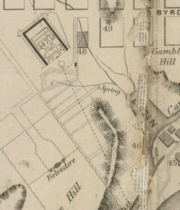
1856 Ellyson map of Richmond.
The way things were are the way things are. Plan of Belvedere/Belvidere/Belvidera sales before the house burned on February 5, 1854. A bit sad to think this once beautiful 17 acre estate surrounded by a serpentine brick “fence” was divided into small building lots while still standing. But….guess we see it every day now so not much different. Per details included with the plat shown. Lots (Red Dots)1-6, 21-24, and 56 & 57 sold on Oct ? 1852. Lots (Light Blue Dots) 38-41 sold on March 28, 1853. Lots (Green Dots) 68-75 sold on Aug 25 ?. 31 lots (Purple Dots) on Laurel Street sold on Nov. 9, 1853. Belvidere was located within the red rectangle. The four arrows mark the corners of the brick wall that surrounded the property. Credit: Virginia Historical Society, Library of Virginia.
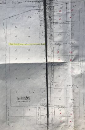
1817 plat showing very early subdivision of larger 4 acres parcels near Belvedere. “The black dotted lines represent the brick fence”. The house is shown, the James river would be at the top of the plat.
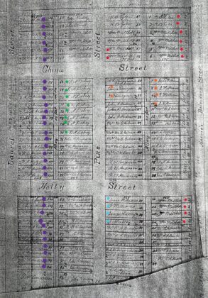
1851-52 plat updated in 1870’s
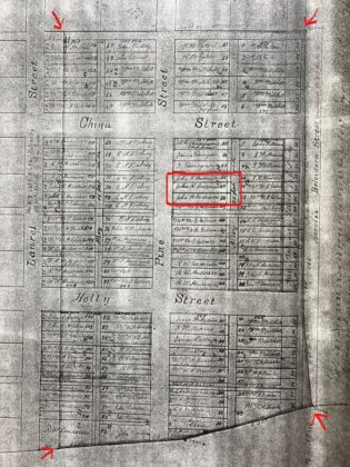
Belvidere mansion/house was located within the red rectangle. The 4 arrows mark corners of the brick wall that surrounded the 17 acres. the house burned on February 5, 1854
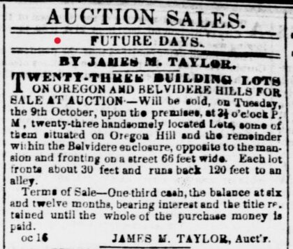
Daily Dispatch 10-16-1852. See the red dots on the first plat map.
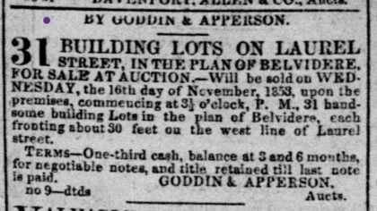
Daily Dispatch 11-9-1853. See the purple dots on the first plat map
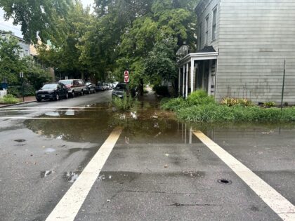
Its subsided now, but this was the scene earlier this afternoon at the northeast corner of China and Laura Streets.
The City has still not resolved this longstanding, reported issue.
This past weekend’s winter storm continues to impact mobility, with neighborhoods and roads still very icy.
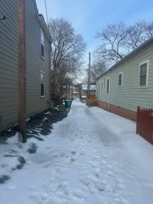
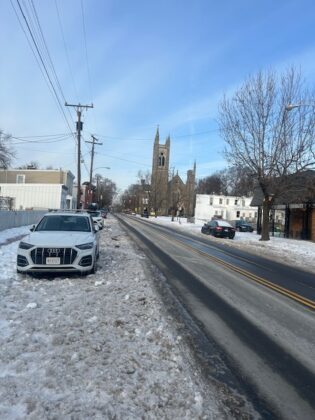
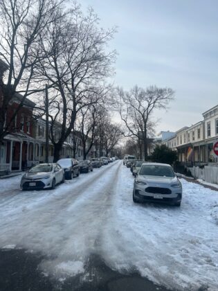
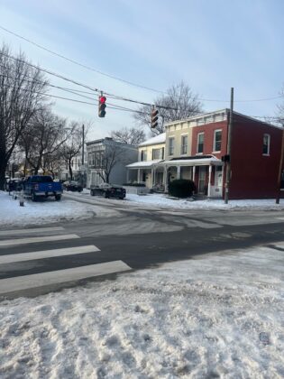
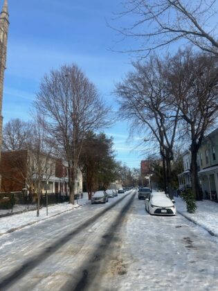
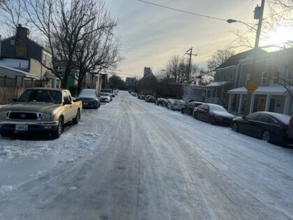
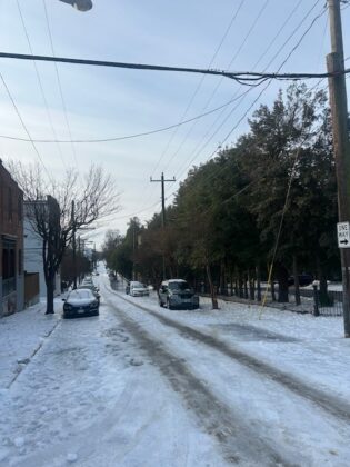
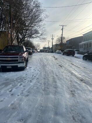
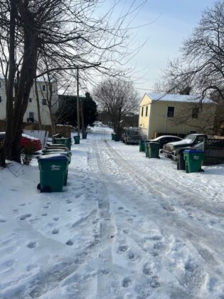
Urban transportation and history nerds may take some time to ponder how the Richmond Union Passenger Railway would be handling this, if it were still in existence.
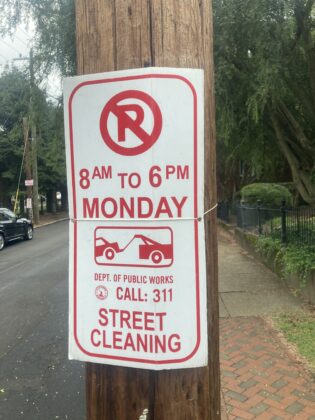
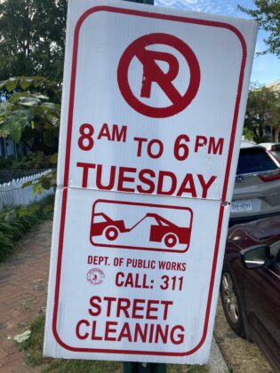
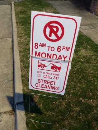
The signs are up, so take note.
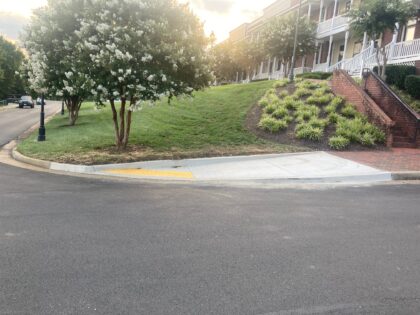
…and then, suddenly this week, there are curb cuts!
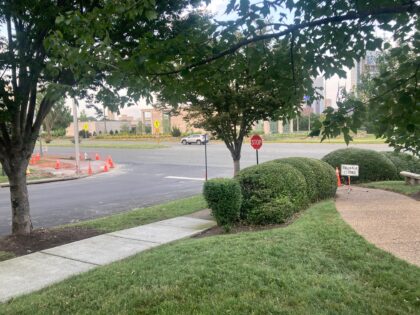
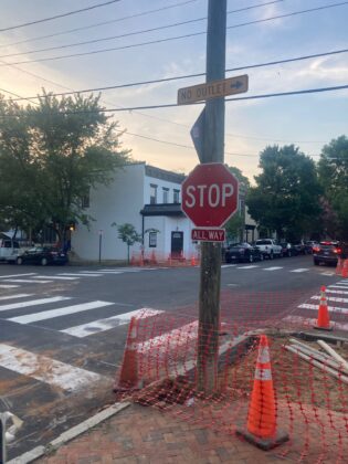
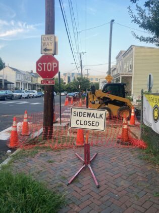
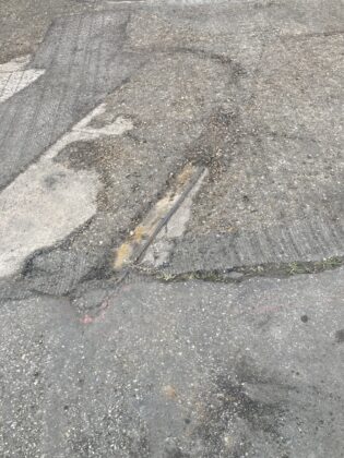
With street repaving taking place, the old electric trolley tracks are showing again here and there.

From Oregon Hill Neighborhood Association:
KEEP AN EYE ON THE SIGNS: WARN YOUR NEIGHBORS: OREGON HILL SCHEDULED STREET CLOSURES
OHNA has not been provided with specific days when the individual streets will be closed so KEEP YOUR EYES OUT FOR SIGNS!
During this period these streets will be closed at various times for milling and paving. PAY ATTENTION to signs indicating particular blocks and streets. If you will be away during this time, find a safe place to park your car, or empower a neighbor to move it for you.
Wednesday, May 7 to Wednesday, June 18 from 9 a.m. to 6 p.m.
Riverside Park from South Cherry Street to Dead End
South Cherry Street from Riverside Park to Oregon Hill Parkway
Oregon Hill Parkway from South Cherry Street to 2nd Street
South Laurel Street from Oregon Hill Parkway to Broad Street
South Pine Street from Oregon Hill Parkway to Broad Street
South Cherry Street from South Cathedral Place to Dead End
Holly Street from South Belvidere Street to Dead End
China Street from South Belvidere Street to Cherry Street
Spring Street from Cherry Street to South Belvidere Street
Albermarle Street to Dead End
Idlewood Avenue from South Belvidere Street to South Harrison Street
Grayland Avenue from Idlewood Avenue to South Harrison Street
Cumberland Street from South Belvidere Street to South Harrison Street
South Linden Street from Idlewood Avenue to West Cary Street
Parkwood Avenue from South Harrison Street to South Lindon Street
Cathedral Place from North Laurel Street to North Cathedral Place
South Cathedral Place from North Laurel Street to North Cathedral Place
North Cathedral Place from South Cathedral Place to Cathedral PlaceALSO: Next OHNA monthly meeting: MAY 27, 7PM on ZOOM.
Street cleaning next week. Look for the signs.