Update on Replacing The Illegally Demolished Tredegar Wall

Pine Street neighbor Bryan Green, who serves on the City’s Urban Design Committee, has made a test panel for replacing the illegally demolished Tredegar wall. Because there isn’t enough surviving brick to rebuild the wall, he has ordered hand made brick from North Carolina. The test panel is by the sign in the Belle Isle parking lot.

Bryan thinks that they will start on rebuilding the wall as soon as they get in the proper mortar and when it warms up a bit. He hopes to supply some more details soon.

Tredegar brick test panel

Fences of Contention III

An update on the Fences of Contention saga (Here are links for Part I and Part II):

Councilperson Agelasto spoke with the City Attorney about the 2nd Street Connector legal agreement and the $53,000 budget requirement for the fence. The original agreement has been completed and is now closed. The City has no further obligation to complete the fence. In order to fund the budget, this will require the City Council to approve a budget amendment.

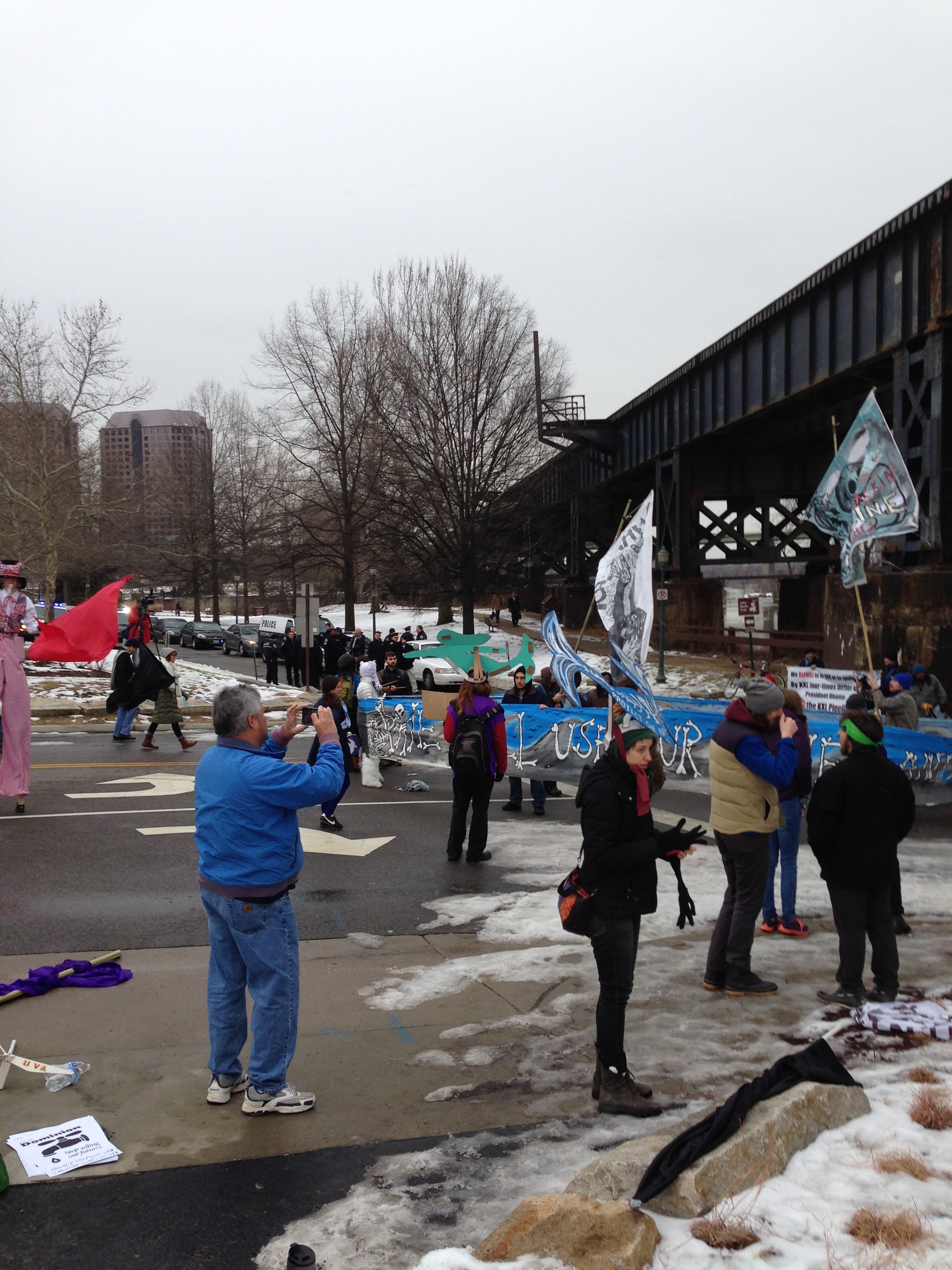
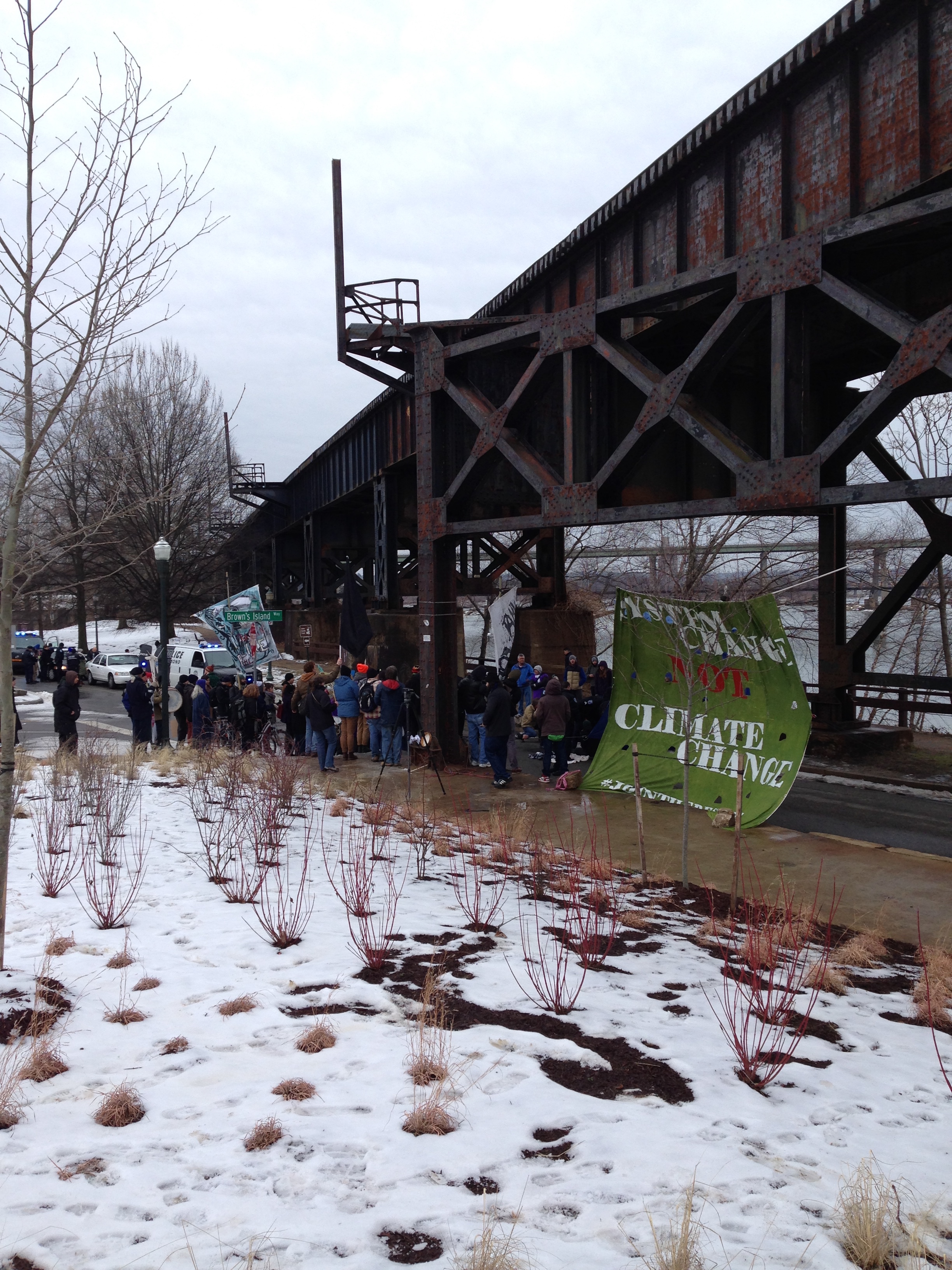
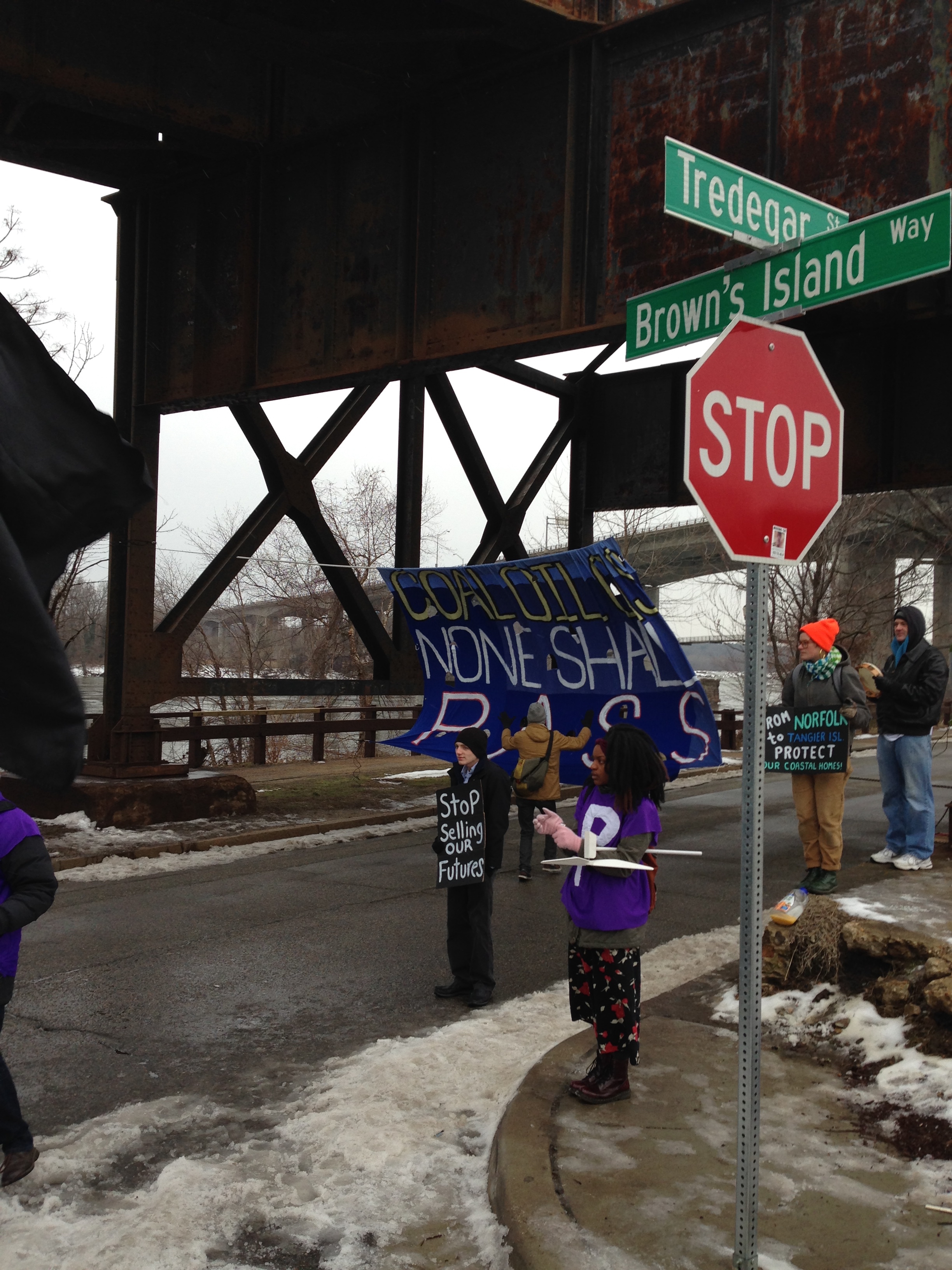
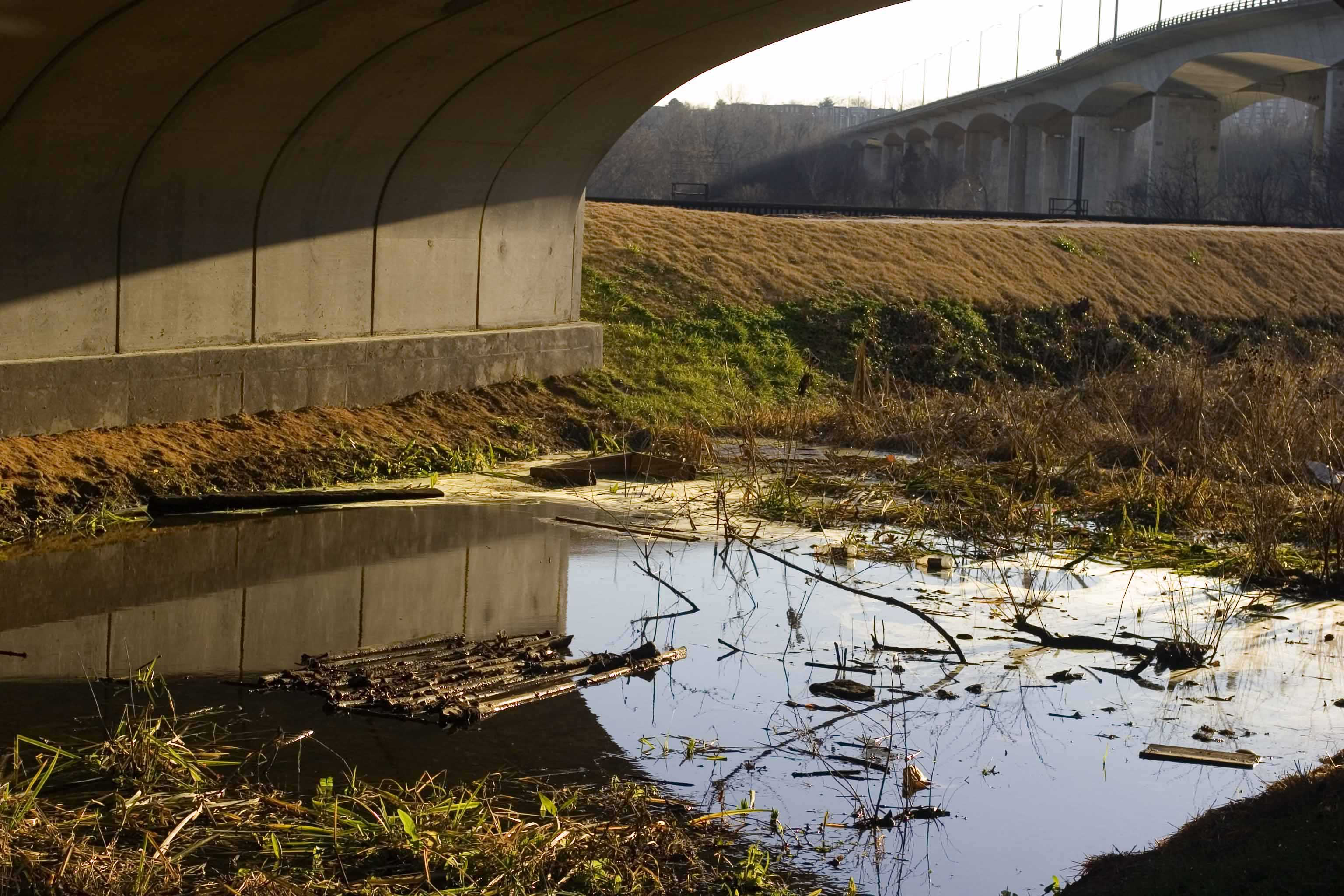
Yesterday, the Planning Commission review was supposed to consider the authorization of the “location, character, and extent” of the fence, but due to other issues on their agenda, the meeting went on too long and the fence item was continued until the next meeting February 2nd. According to neighbors who did attend and spoke with officials after the meeting, the City administration is still trying to maintain that the fence was paid for through the authorizing ordinance (despite the City Attorney’s opinion.)

But looking back at the authorizing ordinance for the 2nd Street Connector (Brown’s Island Way), the plans were NOT included in the ordinance or the agreement attached to the ordinance.

If plans had been included, they would have been attached to the agreement as an exhibit. These are the only exhibits attached to the agreement:
Exhibit A. Description of the Property
Exhibit B. Project Area
Exhibit C. Description of City Property
Exhibit D. Project Standards
Exhibit E. [Payment Schedule]
Exhibit F. Lease Agreement
Exhibit G. Construction Plan Showing Curb Cut Overlaid on Exhibit B “Project Area”

Exhibit G is for item 2.d of the agreement:

(d) Grantor shall have the right to a curb cut within the area identified on Exhibit G as “Approximate Location of Future Curb Cut” with the precise location of the actual curb cut within that area coordinated through the City’S Department of Public Works’ Division of Transportation and Engineering to ensure that the location and construction of the curb cut complies with transportation safety standards. The curb cut shall be at the sole expense of the Grantor and Grantor shall restore the remaining curb to a condition deemed satisfactory to the City of Richmond in its reasonable discretion. Such right for the curb cut shall be evidenced by reservation by Grantor in the Grantor’s Deed.

Exhibit G has no other purpose in the agreement. The parties are not bound by anything in Exhibit G except what is described in 2.d of the agreement.

Harrison/Cumberland Intersection Likely Closed Till Monday

From VCU’s LiveSafe app:

VCU has recvd information that Richmond City has plans to repair the water main at Harrison & Cumberland tomorrow morning. The pavement restoration will probably not be completed until next Monday. Harrison Street will remain closed except for the deck patrons until then. Richmond City is working aggressively to have the street open before the Men’s Basketball Game on Tuesday night 01.27/VCU Police

Fences of Contention II

From the Times Dispatch (appearing after Fences of Contention, Part 1, and continuing disregard for citizen concerns):

Editor, Times-Dispatch:
I strongly disagree with portraying the costly Brown’s Island Way fences as a valid city commitment. Your news article, “$53K fence planned to keep homeless away from Richmond bridge,” had seven references to a commitment but apparently none of the insiders talked about the actual written agreement.
The agreement approved by City Council did not require the city to do construction. It required Gamble’s Hill to convey land to Dominion, Dominion then to construct a road, Dominion to then convey the completed road property to Venture Richmond, and Venture Richmond then to sell the property to the city. The city agreed to pay the purchase price.
The agreement did not require fences. It did not mention fences. It did say that it “…contains the entire agreement of the parties with respect to the matters set forth and may not be modified or amended except in a writing signed by the parties….” A prior understanding about fences was superseded by the final agreement.
The road is built. The city owns property. The deal is done. Why are fences being discussed now? Why are fences being discussed at all? Why is City Council letting this happen?
C. Wayne Taylor.
Richmond.

Fences Of Contention

From neighbor’s email:

To: Members of the City of Richmond Urban Design Committee

Re: UDC No. 2015-02 (proposed fences under bridge at Brown’s Island Way, City of Richmond property)

Dear Members of the Urban Design Committee,

Please do not approve the proposed fences under the bridge at Brown’s Island Way at the James River and Kanawha Canal. The proposed fences would be a wasteful and inappropriate use of city funds. The fences on both sides of the bridge would cost $53,000, with the city paying half of this cost.

The dubious “security” purpose of the fences of preventing homeless persons from camping under the bridge is not only a mean-spirited goal but also an unnecessary expense. The water under the bridge makes it highly unlikely that anyone would camp there. (Please see the attached photo showing the water under the bridge, leaving no place to camp.)
Of the hundreds of bridges in Richmond, this bridge adjacent to NewMarket property should not be singled out for fencing. This culvert adjacent to NewMarket Corporation property should be treated the same as the hundreds of other culverts in the city.
The proposed fences are incompatible with the city master plan goal of promoting canal boat traffic in the canal. According to the city master plan: “All public improvements to and investments in Tredegar Green should support the goal of westward (or appropriate) canal restoration …” The proposed fences do not support the goal of westward canal restoration. This is particularly significant since City Councilman Parker Agelasto last month in December 2014 submitted a CIP budget request for rewatering the James River and Kanawha Canal.
The altered design of the proposed fences is a substantial and undesirable change in character from the earlier design of gates that could be opened for canal boat traffic. The proposed bars under this bridge would resemble a cage or prison cell in character rather than a gateway for canal boat traffic.
The Brown’s Island Way written agreement approved by the Richmond City Council (Ordinance 2012-153) did not include these expensive fences, and at this point any additional verbal commitments are not relevant: Section 4(d) “This agreement contains the entire agreement of the parties with respect to the matters set forth and may not be modified or amended except in writing signed by the parties to this Agreement.” The installments for Brown’s Island Way already included in the CIP budget are based on the completed project and have already been established based on the city ordinance and purchase price of the project. The City administration has been unable or unwilling to provide any documentation of who made the verbal commitment to build these fences.
The limited resources of the city should be allocated based on need and common sense rather the whims of the politically connected. Paying for these fences would be footing the bill for corporations … with little or nothing to do with public welfare or existing city regulations. There is no city regulation to prohibit public access under the city’s many bridges and no exception should be made because this bridge is adjacent to NewMarket Corporation.

Thank you for your consideration of this request to not approve the wasteful and unnecessary 2nd Street Connector bridge fencing plan .

Sincerely,
Charles Pool

water under bridge 12-30-14proposed $56,000 fence under 2nd St connector bridge

Richmond Marathon Saturday- Plan Ahead

From email:

Dear Neighbors:

The Richmond Marathon takes place Saturday, November 15 and several roads in the city will be affected/closed in the morning hours:

5th Street will be closed from Broad St to Tredegar St starting 4:00am to 4:00pm
Broad Street (both eastbound and westbound) between 5th and 11th Streets will be closed to traffic from 4am to 10am. Westbound traffic will be detoured north onto 11thStreet and west on Leigh Street.
Broad Street (both eastbound and westbound) between 5th Street and N. Boulevard will be closed from 6 to 9am. Eastbound traffic will be detoured north on Sheppard Street, east on Marshall Street, north on the Boulevard, east on Leigh Street, south on 10thStreet, east on Marshall Street, south on 12th Street back to Broad Street.
Grace Street from Allen Ave. to 3rd Street will be closed from 6am to 3pm.
3rd Street from Broad Street to Cary Street will be closed from 6am to 3pm.
Mulberry Street between Broad St. and Monument Ave. will be closed from 6 to 9am for the HCA Virginia 8K.
Grace Street will be closed between Boulevard and Allen Ave. from 6 to 9am for the HCA Virginia 8K.
Lombardy Street between Brook Rd. and Monument Ave will be closed from 7am to 3pm.
North Boulevard northbound from Broad St. to Hermitage Rd. will be closed from 7 to 10am for the American Family Fitness Half Marathon.
Hermitage Road northbound from Boulevard to Pope Ave will be closed from 7 to 10am for the American Family Fitness Half Marathon.
Brookland Parkway both eastbound and westbound from Hermitage Rd. to Lamont St. will be closed from 7 to 10am for the American Family Fitness Half Marathon
Bellvue Avenue from Hermitage Rd to Bryan Park entrance will be closed from 7AM to 10AM for the American Family Fitness Half Marathon.
Monument Avenue westbound between Mulberry and Westmoreland will be closed from 7:30 to 9:30am.
Westmoreland between Monument Ave and Grove Ave will be closed from 7:30am to 10am.
Grove Avenue westbound between Commonwealth and Maple will be closed from 7:30 to 10:00am.
Maple Avenue from Grove to Cary Street will be closed from 7:30am to 10:00am
The Huguenot Bridge will be closed to all traffic from 8:00am to 11:00am. Northbound traffic on Huguenot Road will be detoured north from Huguenot Road onto Chippenham Parkway to the Willey Bridge.
Riverside Dr. will be closed from the Huguenot Bridge to Scottview Drive from 6am to Noon.
Forest Hill Ave. westbound from Roanoke St. to Hathaway Rd. will be closed from 8 to 11:30am.
Semmes Ave. Westbound from Cowardin Ave. to Roanoke St. will be closed from 8:30am to Noon
Belvidere Street northbound at Grace Street will be closed from 7am to 3pm. The recommended detour will be east on Byrd Street to the Downtown Expressway eastbound to I-95 northbound.
West Main Street, from Belvidere to Boulevard will be closed from 9:00am 1:00pm. Westbound traffic Main St will be detoured North on Belvidere, East on Franklin, and South on 1st Street to the Westbound Downtown Expressway.
Belvidere Street southbound between Broad and Grace Streets will be closed from 7am to 3pm. The recommended detour for southbound Belvidere Street will be onto I-95 southbound just north of Leigh Street
The southbound exit ramp from the Powhite Parkway to Forest Hill Avenue and the northbound entrance ramp from westbound Forest Hill Avenue onto the Powhite Parkway will be closed to traffic from 8am until approximately 11am.
There will also be numerous and frequent lane closures along the Marathon, Half Marathon & 8k routes, including closures on: Broad Street, North Boulevard, Monument Avenue, Grove Avenue, Maple Avenue, Cary Street Road, River Road, Scottview Drive, Forest Hill Avenue, Semmes Avenue, the Lee Bridge, Belvidere Street, West Main Street, Hermitage Road, Fauqier Avenue, Brook Road. Motorists are advised to use extreme caution when entering these roadways or making turns across the runners’ paths along these roadways.

The race begins at 8:00 am and roads will be affected for several hours. There are 6,500 runners competing in the full marathon. Residents should be on the lookout on Friday night and Saturday for No Parking signs/restrictions along the routes and runners on Saturday!

Sincerely,

Ida Jones
5th District Council Liaison

192191