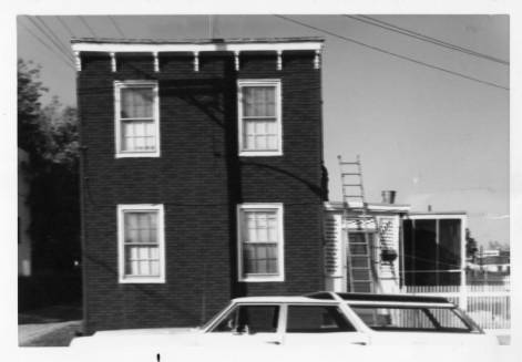
Photo from Visual and Vintage Virginia’s Facebook page:
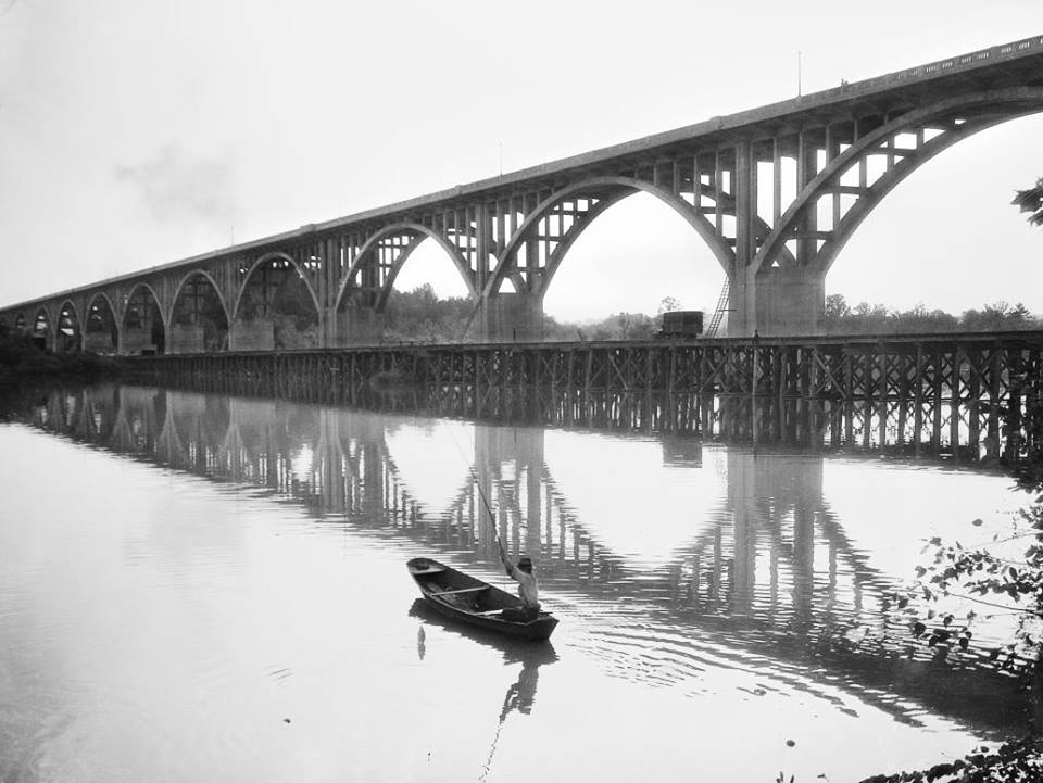

Photo from Visual and Vintage Virginia’s Facebook page:
From FaceBook event page:
The public is invited to join RVA Archaeology for an introduction to archaeology, with an emphasis on the special nature of cities. Beneath Richmond’s Pavement will be presented by Taft Kiser, former researcher at the VCU Archaeology Research Center (VCU-ARC). During Taft’s years at the VCU-ARC, from 1988 to 1998, the Center carried out hundreds of projects throughout Virginia. He will describe six excavations performed in the City of Richmond, including evidence of the British occupation of Rocketts Landing and dissected human bones found in a well at VCU.
WHEN: Saturday, August 30, 2014
TIME
10 am: Business meeting to discuss organizational goals (for RVA Archaeology members & people interested in becoming members)
11:30 to12:30 p.m. Public TalkWHERE: Richmond Public Library (Main),101 E. Franklin St., Richmond, VA 23219
CONTACT: RichmondArchaeology@gmail.com
From the Times Dispatch article:
The new American Civil War Museum will create a contemporary L-shaped building in the courtyard at Historic Tredegar to unite the site and the Civil War experience.
Renderings for the stone and brick building were released Monday by the museum, which unites the Museum of the Confederacy and the American Civil War Center at Historic Tredegar.
The new building will wrap around the Foundry building, home to the American Civil War Center, and replace a much smaller brick-and-glass entry. The current exhibit in that building, “In the Cause of Liberty,” will close after Thanksgiving. In the new setup, the Foundry building will become a multipurpose space for conferences or events.
The main entrance of the new building will face the plaza and be at a right angle to the entrance of the Pattern Building, where the Richmond National Battlefield Park visitor center is located. The visitor center will remain open throughout the construction.
Photo by Ric Bellizi, used with permission.
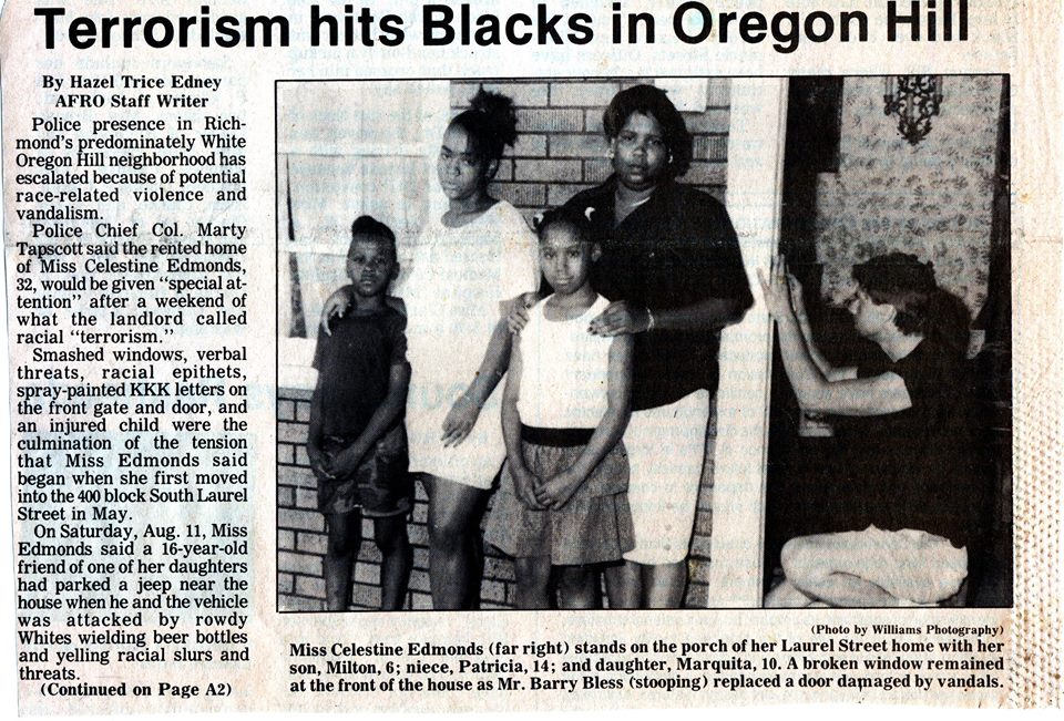
The recent racial conflict in Ferguson, Missouri is a reminder of some of the darker periods of racism in Oregon Hill about 30 years ago (see clipping of article below from The Richmond Afro-American Planet newspaper). Thankfully, in this aspect, the neighborhood has changed since then. This ugly past contrasts with more heroic history.
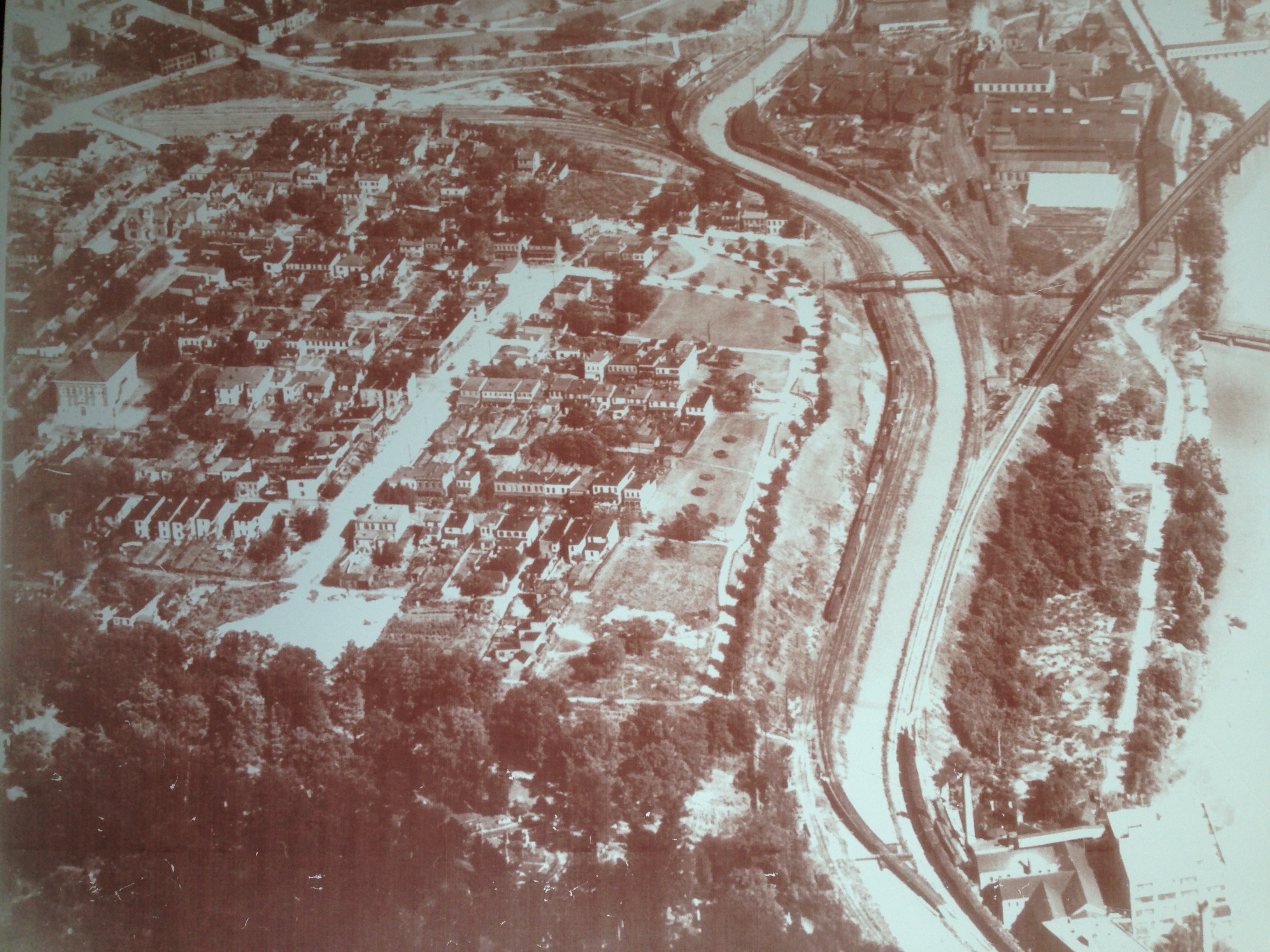
From neighbor Charles Pool:
This is a photo that I ordered from the Library of Va. and had them crop the photo to show Oregon Hill. (I have the high-resolution print.)
The photo was taken in the 1930s when they were planning the Lee Bridge, which was built in 1934. (You will notice that Lee Bridge is not in the photo.) At this time Belvidere was no wider than the other north-south streets in O.H. Every building south of Holly has been demolished except for the gazebo and two surviving buildings on Riverside Park. Grace Arents School is visible on the left of the photo. The canal is shown with the walk-bridge that allowed many O.H. residents to walk to jobs at Tredegar.
Another great photo from the Visual & Vintage Virginia FaceBook group:
Riverside Park house-end of Pine Street
Oregon Hill-1953

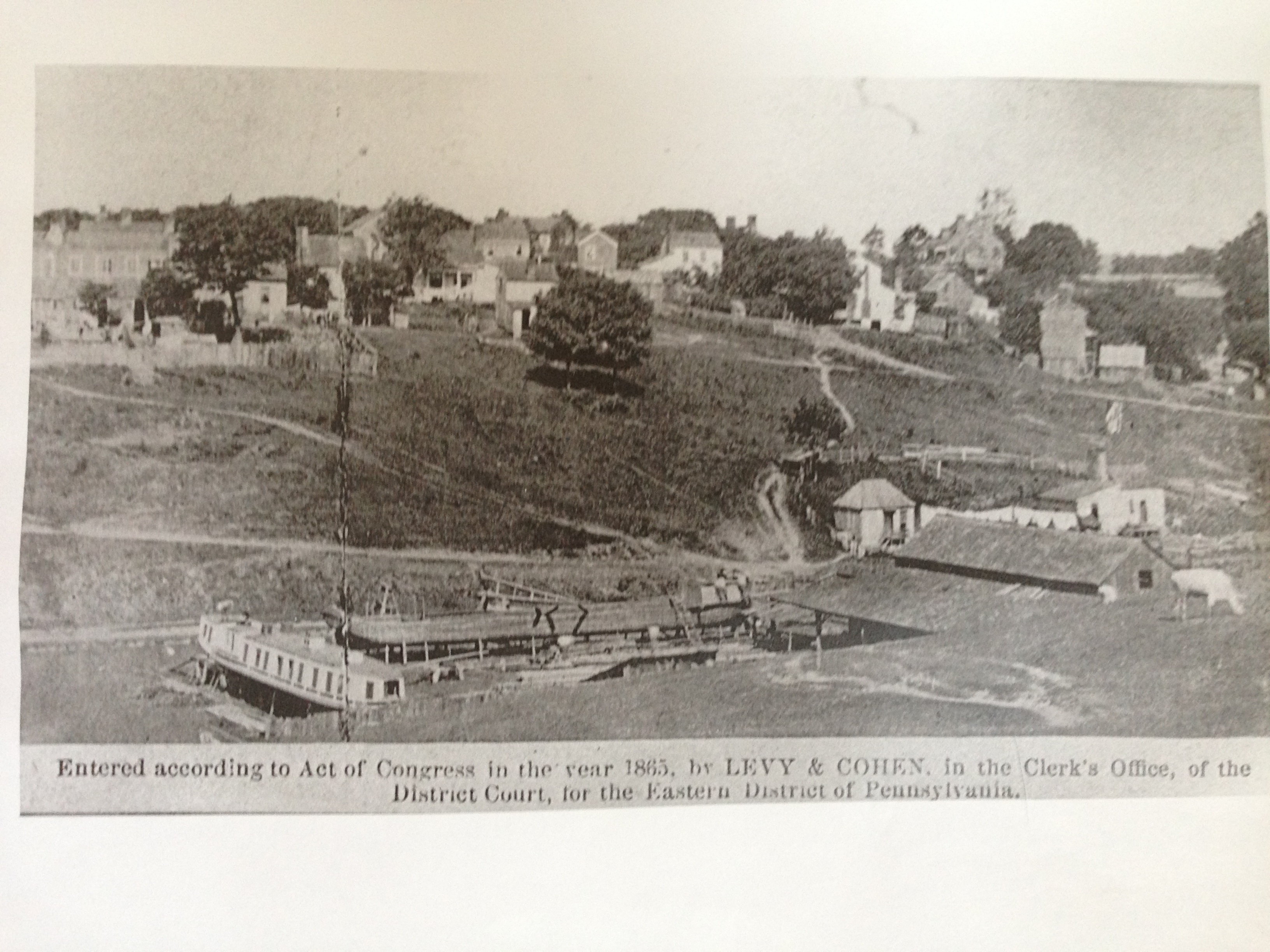
The only building still standing is the Parsons House with two chimneys in the upper right hand side of the photo. The owner of the canal boat building business at one time lived in the Jacob House.
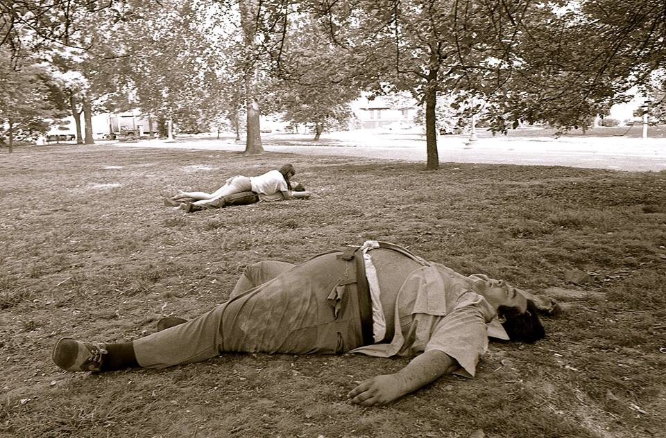
From 1954. Recognize anyone?
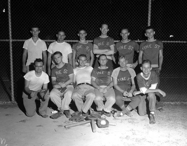
Photo from Visual and Vintage Virginia, with permission to share from Denise Bigger.